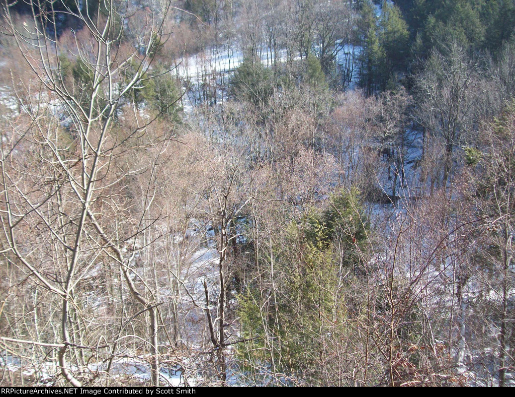
| The view looking off the edge of the right of way. It is hard to tell from the picture but the line hugs a cliff as it travels along and drops off about 150 feet to the bottom of a ravine. In some spots retaining walls were used because it it a verticle drop down to the bottom. |
| Date:
12/30/2010 |
Location:
Laurel Run, PA Map  |
Views:
177 |
Collection Of:
  Scott Smith
 |
|
Author: Scott Smith
|
 |
| Picture Categories: Track |
This picture is part of album: Laurel Run, PA |